8
NE States Covered
130
Districts Profiled
25
Sectors
2000
Web portal Launched
Welcome to the North East India
Explore the most comprehensive, organized, and accessible repository of information on the North Eastern Region of India—covering Assam, Arunachal Pradesh, Manipur, Meghalaya, Mizoram, Nagaland, Sikkim, and Tripura. The NER Databank brings together vital economic, geographic, demographic, and sectoral data under one digital roof to support policy, business, research, and development efforts in the region.
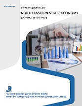
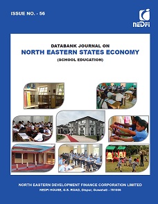
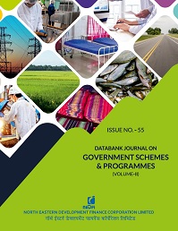
Read MoreNEDFi Databank Journal
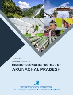
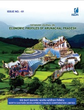
The NEDFi Databank Journal offers comprehensive economic data on specific sectors or topics related to the North Eastern Region. This initiative aims to attract investments and foster business opportunities in the region while serving as a valuable resource for students, policymakers, researchers, and aspiring entrepreneurs.


